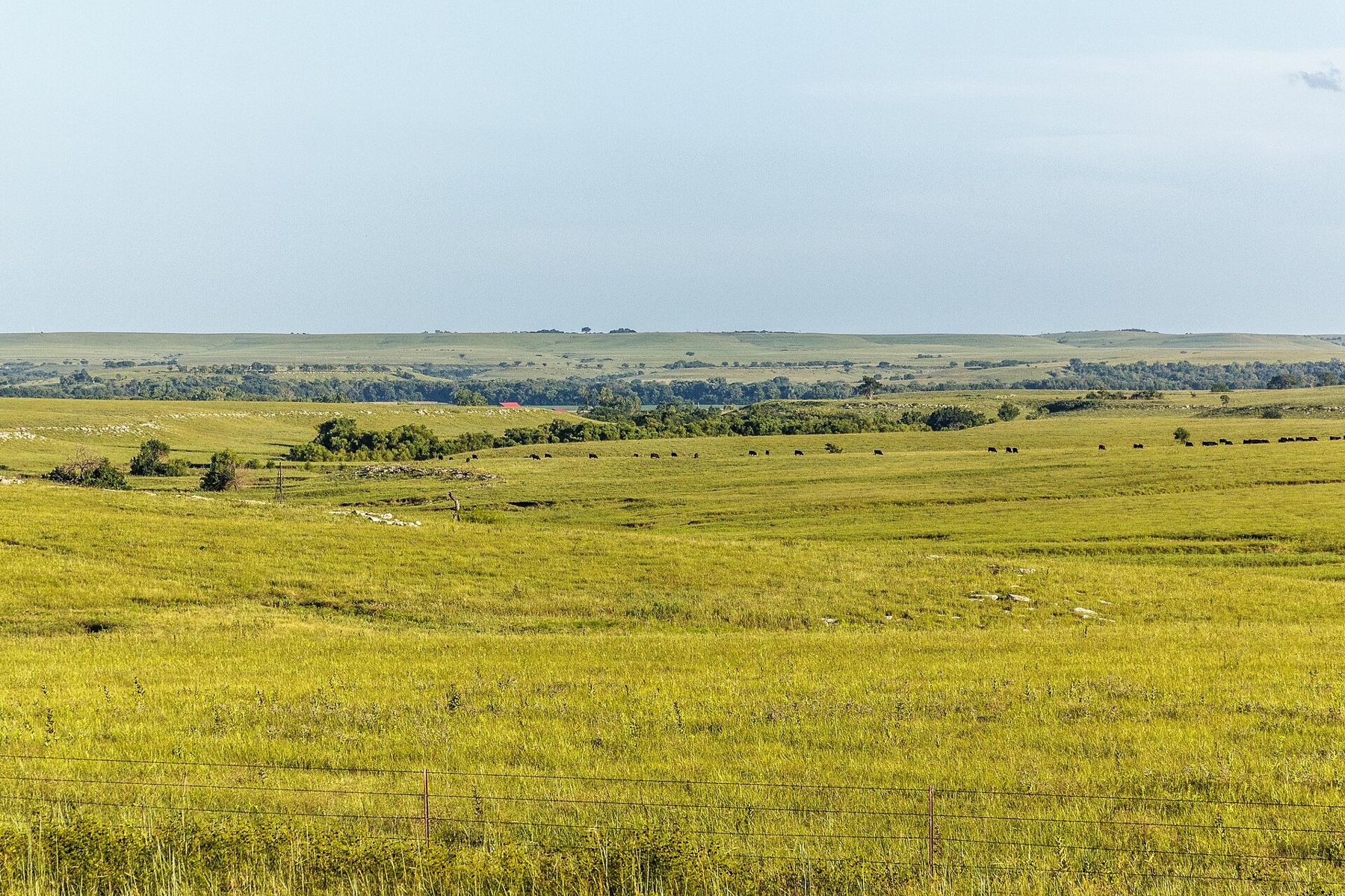
K-177 runs south from Council Grove through the largest stretch of tallgrass prairie left in North America. Small stone towns, open range, and fire on the hills each spring.
K-177 is paved two-lane with few places to turn off. Fuel up in Council Grove or Cottonwood Falls. Cell signal drops in the hills, and smoke from spring burns can cut visibility fast.
Grass that the plow left alone
Most of the tallgrass prairie that once covered the middle of the continent is gone, turned into corn, soybeans and wheat. The largest piece that remains runs north and south through eastern Kansas in a band of hills underlaid by limestone and shale. The limestone is full of chert, the hard flint that gave the hills their name, and the thin rocky soil defeated the settlers' plows. So the land stayed in grass, and the grass became cattle range.
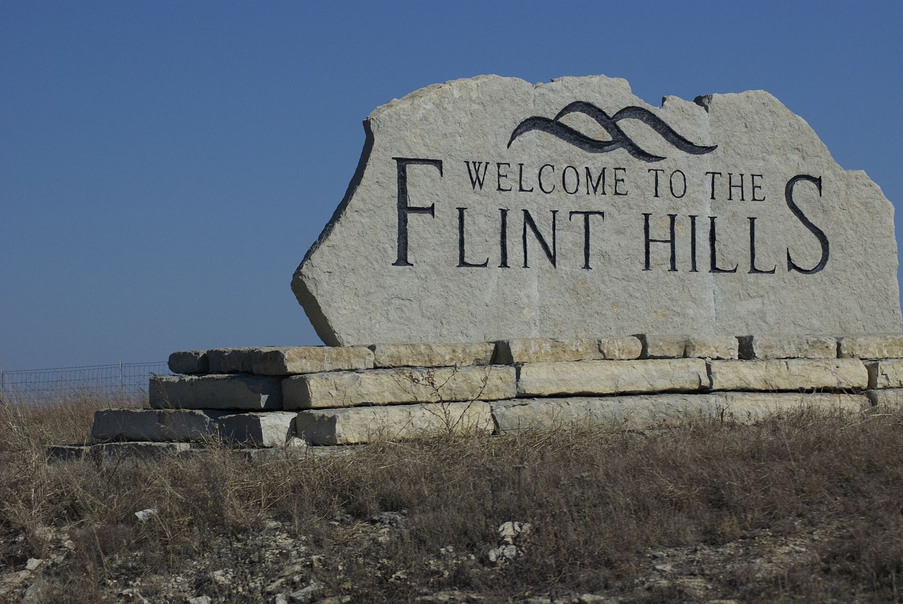
The Flint Hills Scenic Byway follows K-177 for a little under fifty miles through the heart of this country, from Council Grove in Morris County south through Chase County to Cassoday. It is a National Scenic Byway, and it is a slow road by intent: two lanes, long climbs onto open ridges, and views that run to the edge of sight with hardly a building in them.
The grasses here are the classic tallgrass mix: big bluestem, little bluestem, Indiangrass and switchgrass, with hundreds of wildflowers through the season. By late summer the big bluestem in a good year can stand taller than a person on the lower slopes.
Council Grove and the trail
The byway starts in Council Grove, on the Neosho River. The town takes its name from a meeting in 1825, when federal commissioners and Osage leaders agreed on a right of way for the Santa Fe Trail. The trail crossed the river here, and the grove of hardwoods along the Neosho was the last good timber that westbound wagons would see for a long way. Traders stopped to cut spare axles and repair wagons before the open country ahead.
The Kaw Mission State Historic Site, a stone building from the early 1850s, tells the story of the Kaw, or Kanza, people, whose reservation lay around Council Grove until the government moved them to Indian Territory in 1873. The Kaw Nation, now based in Oklahoma, gave its name to the state. Give the town an hour before you head south: several trail-era buildings and markers stand within a few blocks of the river crossing, and more of the trail's later story continues west toward Dodge City.
The open stretch to Strong City
South of Council Grove the road climbs out of the river valley and the country opens. This is the stretch most people remember. The highway runs along and across long, flat-topped ridges, with grass on every side and the limestone showing at the breaks of the hills in pale bands. Fences are few, windmills and stock ponds mark the draws, and in season you share the view with cattle.
The grazing is an old arrangement. Each spring, cattle are trucked into the hills to put on weight over the season, then shipped out again in summer or fall. Watch for trucks on the road and for cattle where pastures are open to the highway. A cattle guard means the fence line crosses the road; slow down for them.
Near Strong City you pass the entrance to the Tallgrass Prairie National Preserve, with its limestone ranch house, barn and bison pasture. If you have half a day, this is where to spend it. Even a short walk up the hill behind the barn gives you a feel for the scale of the grass.
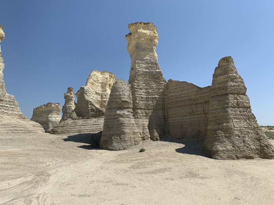 Turn off hereMonument Rocks and Little Jerusalem
Cottonwood Falls and the courthouse
Cottonwood Falls is the seat of Chase County and sits a short way off the highway across the Cottonwood River. At the end of its main street stands the Chase County Courthouse, built in 1873 from local limestone, with a red mansard roof and a tall cupola. It is the oldest courthouse in Kansas still in use for its first purpose. The interior is known for a spiral staircase that climbs three floors. Tours and hours vary, so ask at the building.
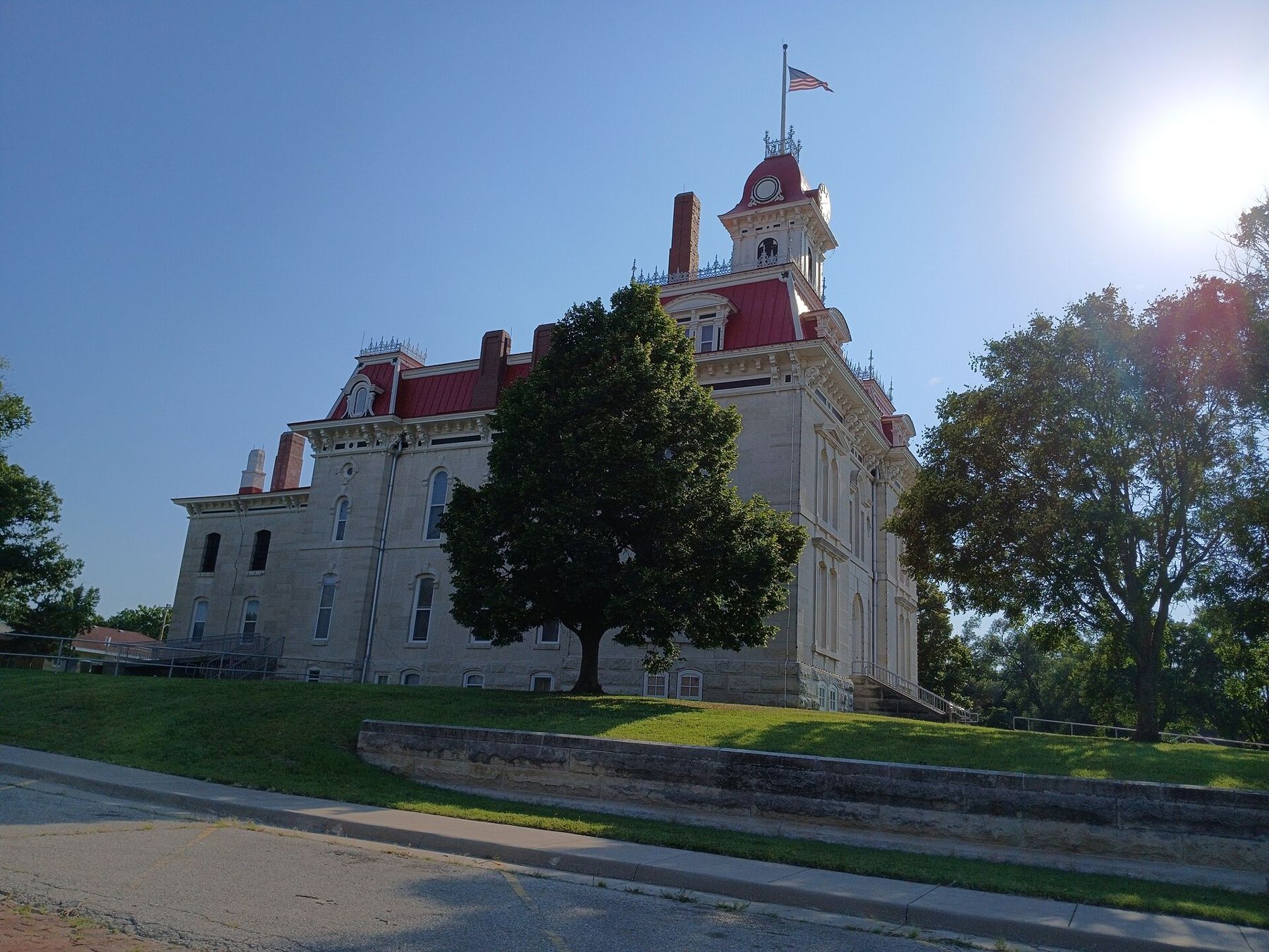
The town around it is small and built of the same pale stone. Walk down to the river crossing at the other end of the street, then back up past the old storefronts. Chase County has only a few thousand people spread across a large county, and you feel it once you leave town again.
Fire on the hills
The Flint Hills look the way they do because of fire. Without it, trees and shrubs would creep up from the creeks and cover the slopes. For centuries the hills burned from lightning and from fires set by the people who hunted here. Ranchers carry on the practice. Most years, from about mid-March into April, pastures across the region are burned to clear old growth and bring on fresh green grass for the cattle.
The fires can be a sight at night, long orange lines crawling over the dark ridges. They also bring hazards. Smoke can roll across the highway with little warning and cut visibility to almost nothing. If you meet smoke, slow down, turn on your lights, and do not stop in the lane. Never pull into a pasture or drive toward a fire to get a better look. Kansas posts smoke forecasts and burn restrictions during the season, and they are worth checking before you drive.
Within two or three weeks of a burn the black hills turn a bright, almost unreal green. Late April and May, when the new grass is up and the wildflowers are starting, are among the best times on the byway. The hills are bright, the air is clear after rain, and prairie chickens are displaying on their booming grounds at dawn.
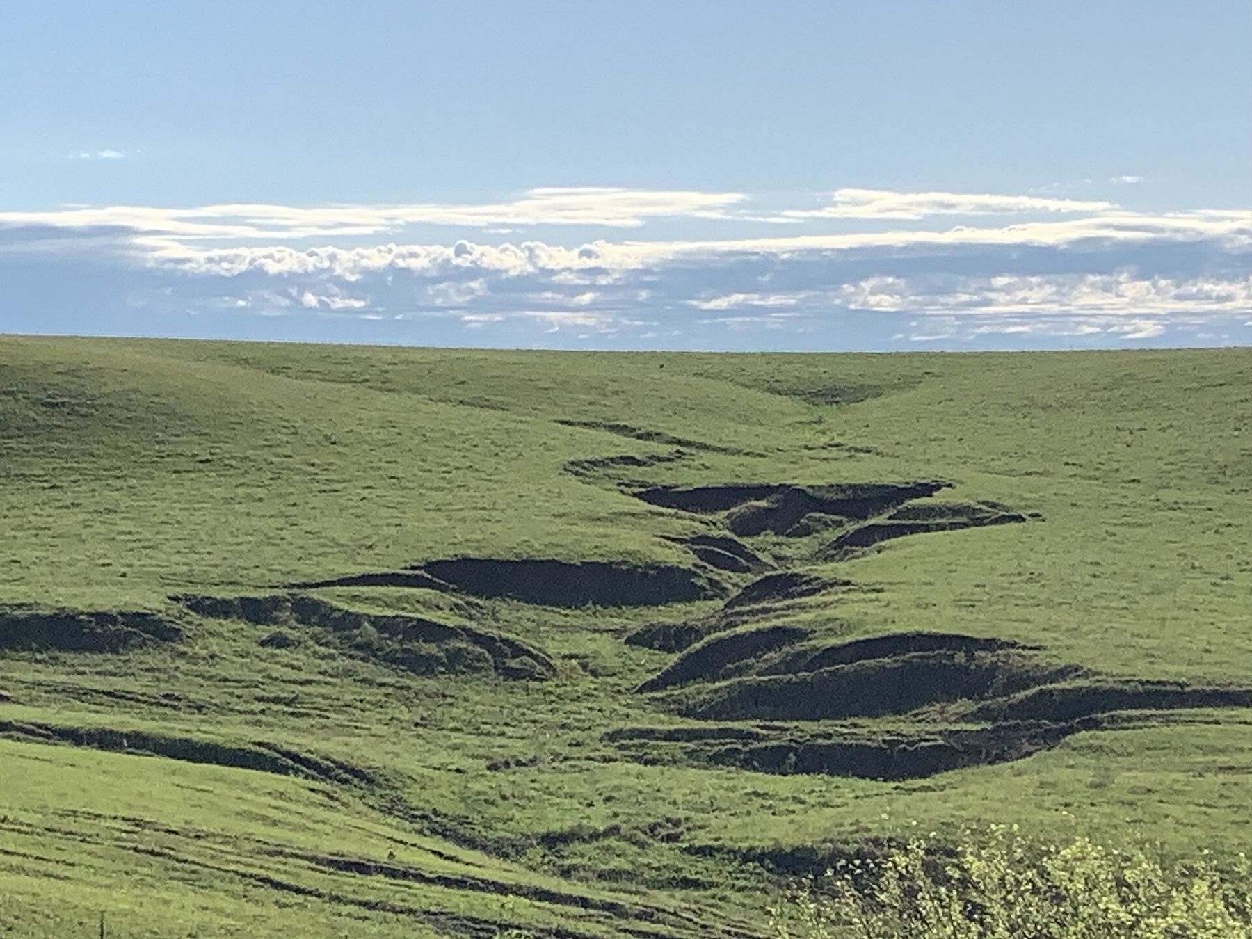
Within two or three weeks of a burn the black hills turn a bright, almost unreal green.
South to Cassoday
Below Cottonwood Falls the road runs on through Matfield Green, a small ranch town, and over more open range to Cassoday at the south end of the byway, close to the turnpike. The country here is as empty as anything in eastern Kansas. Pull-offs are few, so use the ones you find, and never stop on the shoulder of a blind rise.
The road is good in any season, but the hills change completely from one month to the next: black after burning, green in May, tall and tawny by September, copper and gray in the first frosts. If you can, drive it twice in different seasons.
From the south end you can head west toward the wetlands at Cheyenne Bottoms and Quivira, or out on any of the gravel roads that cut across the hills. Those are working ranch roads, often with no services for many miles. Read up on driving the back roads before you try one after rain.
Camera work
- Larry MillsCC BY 2.0
- Non-dropframeCC BY-SA 3.0
- John P SalvatoreCC BY-SA 4.0
- Ser Amantio di NicolaoCC0