Five plains nations, a federal peace commission and a river camp in Barber County. What the treaties promised, how quickly they failed, and how the town remembers them.
Medicine Lodge is the only real fuel stop for some distance in any direction. Phone signal fades in the river breaks south and west of town, so download maps before you leave pavement.
A council on the river
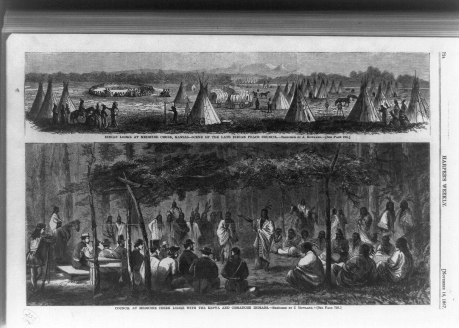
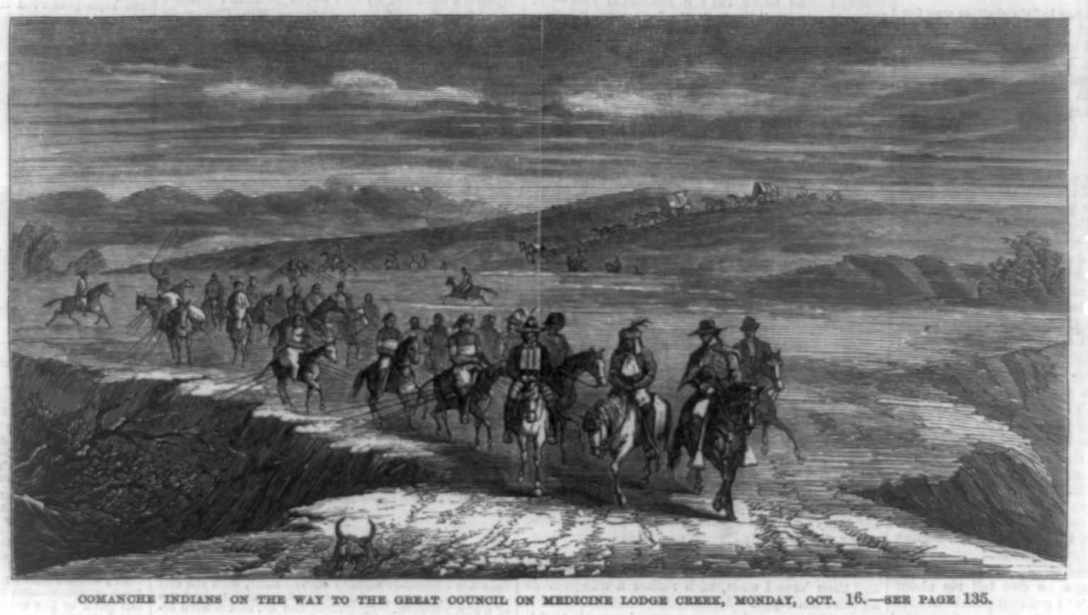
In October 1867 the country south of the Arkansas River saw one of the largest gatherings of the century on the plains. Several thousand Kiowa, Comanche, Plains Apache, Southern Cheyenne and Arapaho people camped along the Medicine Lodge River in what is now Barber County, Kansas. Facing them were the members of a federal peace commission, an army escort, interpreters, supply wagons and a crowd of newspaper correspondents sent west to watch.
The town of Medicine Lodge did not exist yet. The river takes its name from a ceremonial lodge the Kiowa built on its banks, and the place suited a large council: timber, water and grass for thousands of horses. You reach it now on US-160, which follows the valley through town before climbing west into the red country of the Gypsum Hills.
Why the commission came
Congress created the Indian Peace Commission in July 1867. The Civil War was over, railroads were building west across Kansas, and the fighting on the southern plains had gone badly for everyone. The Sand Creek massacre of 1864, when Colorado volunteers attacked a Cheyenne and Arapaho camp that believed itself under the army's protection, was still recent. In the spring of 1867 a campaign under General Winfield Hancock burned a Cheyenne and Lakota village on the Pawnee Fork, and months of raiding along the travel routes followed.
The commissioners included Nathaniel Taylor, the commissioner of Indian affairs, Senator John Henderson of Missouri, and several army officers, William Harney and Alfred Terry among them. Their task was to end the fighting and to settle the tribes on fixed reservations away from the railroads and the main trails.
What was signed
Three treaties came out of the council. On October 21, 1867, the commission signed one with the Kiowa and Comanche and a second that brought in the Plains Apache. On October 28 the Southern Cheyenne and Arapaho signed the third. Among the leaders whose marks appear are Satanta of the Kiowa, Ten Bears of the Comanche, Black Kettle of the Cheyenne and Little Raven of the Arapaho.
The terms were broadly alike:
- Each nation gave up its claims to wide country in Kansas and beyond and accepted a reservation in the western part of Indian Territory, in present-day Oklahoma.
- The government promised yearly goods and clothing, schools, farm tools, agency buildings and other support for a set number of years.
- The tribes kept the right to hunt south of the Arkansas River as long as the buffalo remained in numbers that justified the chase.
- No later cession of reservation land would be valid unless three-quarters of the adult men of the tribe signed it.
Translation was a problem from the first day. The documents were written in legal English and interpreted aloud through more than one language. How much of the land cession the signers understood, and whether the leaders present could speak for bands that were absent, has been argued over ever since.
 Turn off hereCarry Nation's house and the temperance years
What followed
The peace did not hold for long. The Senate ratified the treaties in 1868, but the promised goods came late and short, and the question of guns and ammunition for hunting angered both sides. In the summer of 1868 young Cheyenne men raided settlements along the Saline and Solomon rivers in north-central Kansas. The army answered with a winter campaign. On November 27, 1868, troops under George Armstrong Custer attacked Black Kettle's camp on the Washita River in Indian Territory. Black Kettle, who had survived Sand Creek and signed at Medicine Lodge, was killed there with his wife.
The buffalo clause failed in a slower way. Hide hunters working out of the new railroad towns, among them Dodge City, destroyed the southern herd through the 1870s, and the hunting right the tribes had held out for lost its meaning as the animals disappeared. That pressure fed the Red River War of 1874 and 1875, after which the last free bands of the southern plains came in to the reservations.
The three-quarters rule failed in court. In the 1890s the government pushed allotment on the Kiowa, Comanche and Apache reservation through an agreement that lacked the required signatures. The Kiowa leader Lone Wolf sued. In Lone Wolf v. Hitchcock, decided in 1903, the Supreme Court held that Congress could change treaty terms on its own authority. The ruling shaped federal Indian law for decades.
The nations that met here are governed today from western Oklahoma, and the treaties remain part of their legal history, not only part of Kansas's story.
The town and the pageant
Medicine Lodge grew up near the council ground in the 1870s and has kept the treaty at the center of its sense of itself. Since the 1920s the town has staged a large outdoor pageant re-enacting the council in a natural amphitheater on its edge, usually every few years rather than every year. Dates, seating and tickets change, so check with the town well ahead if you plan a trip around it.
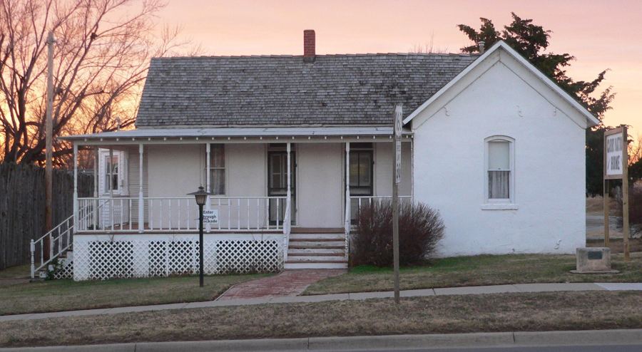
In town, a replica stockade and small museum stand beside the house where the temperance crusader Carry Nation lived in the 1890s. Both are worth an hour, and both keep limited, seasonal hours.
Reading the ground
The clearest way to understand the council is to look at the river. South and east of town the Medicine Lodge runs in a shallow, tree-lined valley through grass and pasture. Stand there in October, when the cottonwoods turn and the grass goes the color of rust, and you can picture the scale of the camps: lodges strung along the bottoms, horse herds on the slopes, smoke in the still morning air.
Keep in mind whose story it is. The pageant is a town tradition, staged from the town's point of view. The tribes' own museums and cultural centers in western Oklahoma tell it from the other side of the table, and a trip south from here on the old routes toward the Washita gives the treaties their full weight.
Before you go
- Most of the country around the council ground is private ranch land. Stay on public roads and do not cross fences.
- Museum and pageant hours change with the season. Call ahead rather than trusting an old listing.
- Combine the visit with an evening drive west on the byway, or with the wider story of the Santa Fe Trail country farther west.
Camera work
- Howland, John Dare, 1843-1914, artistPublic domain
- Miscellaneous Items in High Demand, PPOC, Library of CongressPublic domain