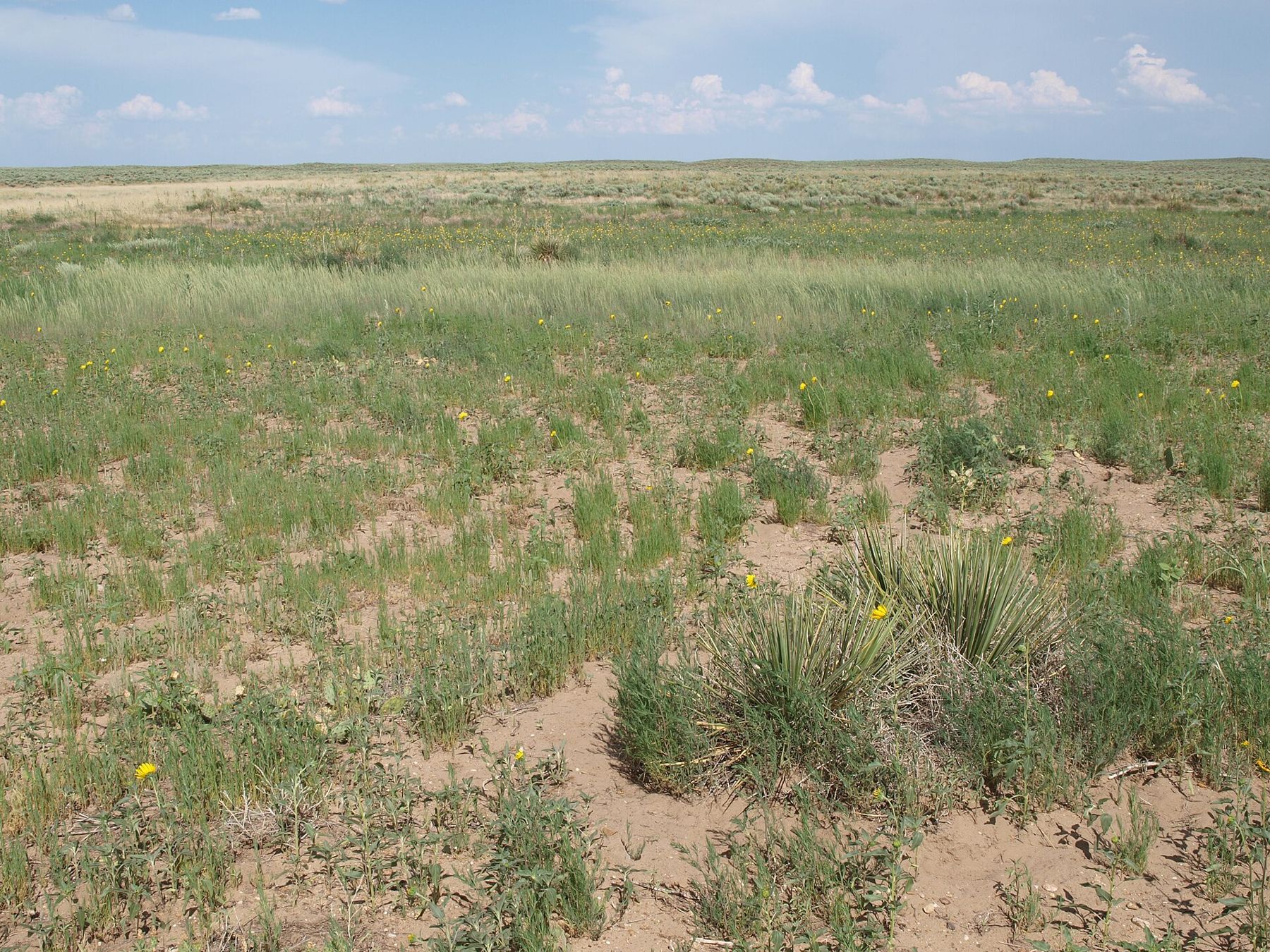
In the far southwest corner of Kansas, land that blew away in the 1930s is grass again, and the longest public stretch of the Santa Fe Trail runs across it.
Elkhart is the last reliable fuel. Grassland roads are gravel and sand that turn soft after rain, cell signal is patchy, and cattle graze the open range.
Morton County sits in the corner where Kansas meets Colorado and Oklahoma, and it looks like the edge of the world: sandsage, short grass, yucca and a sky that runs to the ground in every direction. The Cimarron River crosses it, more often a bed of sand than a stream. Most of the land north of Elkhart is public, and it carries a history that took it from trade route to dust to grass again.
Land that blew away
Settlers plowed this country in the early twentieth century, when wheat prices were high and rains were good. When drought came in the 1930s, the bare fields lifted into the air. Morton County lay near the center of the Dust Bowl, and black blizzards rolled across it for years. Farms failed and families left.
The federal government bought up worn-out land across the southern plains in the late 1930s, and in Morton County it set about restoring grass on what it acquired. The work was slow: replanting native grasses, controlling erosion, managing grazing. In 1960 the land was designated a national grassland, and today the Cimarron National Grassland covers about 108,000 acres, the largest block of public land in Kansas. It is managed by the Forest Service, and cattle still graze much of it under permit.
Driving across it now, you see how deep the recovery went. You also see the reminders: sand that drifts along fence lines, low spots where blowouts healed over, and the occasional ruin of a farmstead that did not survive.
The Santa Fe Trail on public ground
The Cimarron Route of the Santa Fe Trail, the shorter and drier branch that left the Arkansas River west of present Dodge City, crossed this corner of Kansas on its way to New Mexico. About 23 miles of it run through the grassland, the longest stretch of the trail on public land anywhere.
A companion trail for walking, biking and horseback riding follows the old route, marked with limestone posts. Ruts and swales show here and there beside it. Walking even a mile of it in the wind and heat gives you some sense of what a wagon crew faced on the long, waterless stretches of this route, where finding water decided everything.
Middle Spring and Point of Rocks
 Turn off hereStorm season on the plains
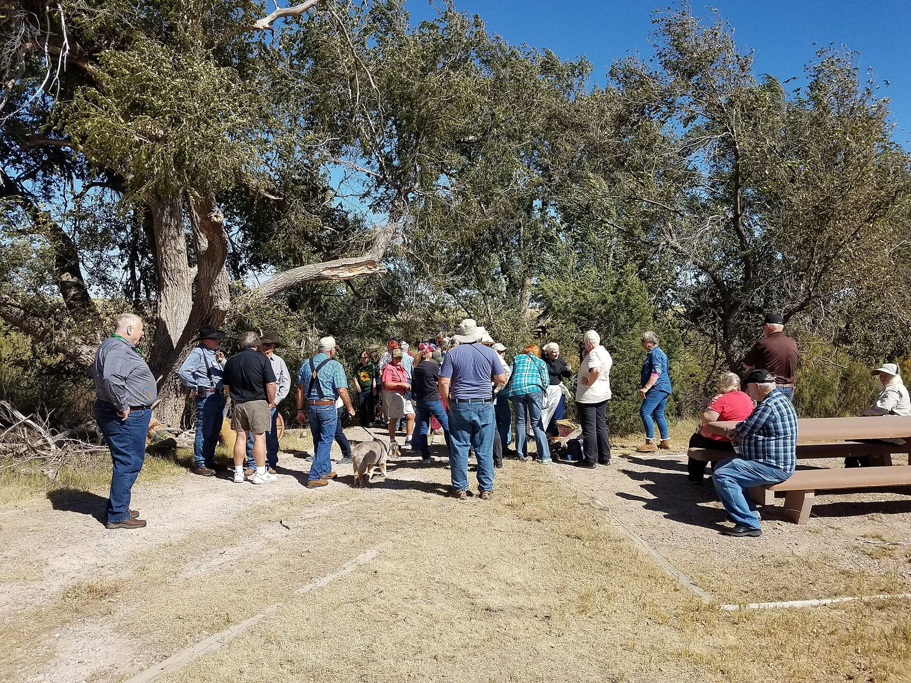
That is why Middle Spring mattered. It is one of the few reliable water sources on the Cimarron Route in Kansas, a seep that still feeds a grove of cottonwoods and a small green patch in country that is otherwise tan for much of the year. Wagon trains stopped here, and you can picnic in the same shade. Bird life gathers around the water, especially in migration.
Point of Rocks rises a few miles west, a rocky bluff above the Cimarron valley that served travellers as a landmark and lookout. A short road climbs to an overlook. From the top you see the river valley, the grassland rolling off toward Colorado, and on a clear day an enormous reach of sky. Late in the afternoon is the time to go, when the light lowers and the grass turns gold.
Prairie chickens, pronghorn and birds
The grassland is home to lesser prairie-chickens, a grouse of the southern plains whose numbers have fallen sharply as their habitat shrank. In spring, males gather at dawn on display grounds called leks, where they inflate air sacs, stamp and call. Viewing is possible in season, but it comes with rules meant to protect the birds: arrive before first light, stay hidden, stay put until the birds leave. Check with the grassland office for current guidance before you plan a visit.
Pronghorn move across the open country, and you may see mule deer in the draws, coyotes, and a wide range of birds. Raptors hunt over the grass in winter. Birders come for the mix of species from east and west at this crossroads of habitats, and for the few ponds and riparian groves that pull migrants in.
For a wider look at the region's bird country, the wetlands at Cheyenne Bottoms and Quivira lie a long day's drive to the east.
Driving the grassland
The main road north from Elkhart is paved, and a self-guided auto tour follows gravel and sand roads past the main sites. These roads are fine in dry weather and treacherous after rain, when sandy stretches go soft and clay bottoms turn slick. Watch for cattle, cattle guards and gates. Leave gates as you find them.
- Fill up in Elkhart and carry more water than you think you need.
- Pick up or print a grassland map; cell signal cannot be counted on.
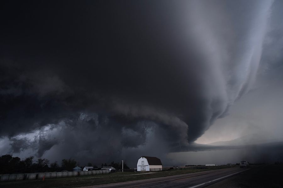
- Summer afternoons are hot, and thunderstorms build fast over open ground.
- Spring winds can raise dust that cuts visibility on the roads.
Rules for camping, fires and vehicles on the grassland change with conditions, including fire danger, so check with the Forest Service before you go.
Night on the grassland
Morton County is thinly settled, and its skies are among the darkest in the state. If you can stay into the evening, watch the light leave the grass and the stars come up over the river breaks; the guide to the big sky at night covers what to look for. And when you leave, take a moment to think about the 1930s again. The quiet you are standing in was earned, acre by acre, by people who learned the hard way what this land would and would not do.
Camera work
- Zorin09Public domain
- National Trails Office ( US National Park Service )Public domain