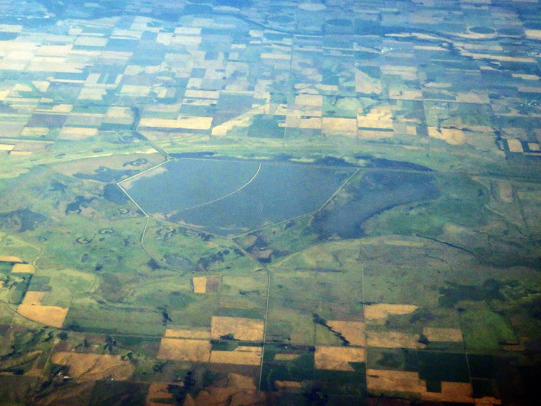
A huge natural marsh near Great Bend and a refuge of salt marsh and sand prairie to the south, joined by a byway and by the birds that use both on their way north and south.
Refuge and wildlife-area roads are gravel and dirt, often soft after rain. Pull fully off before stopping. Great Bend, Hoisington and Stafford have fuel; the marshes have none.
Water on the plains
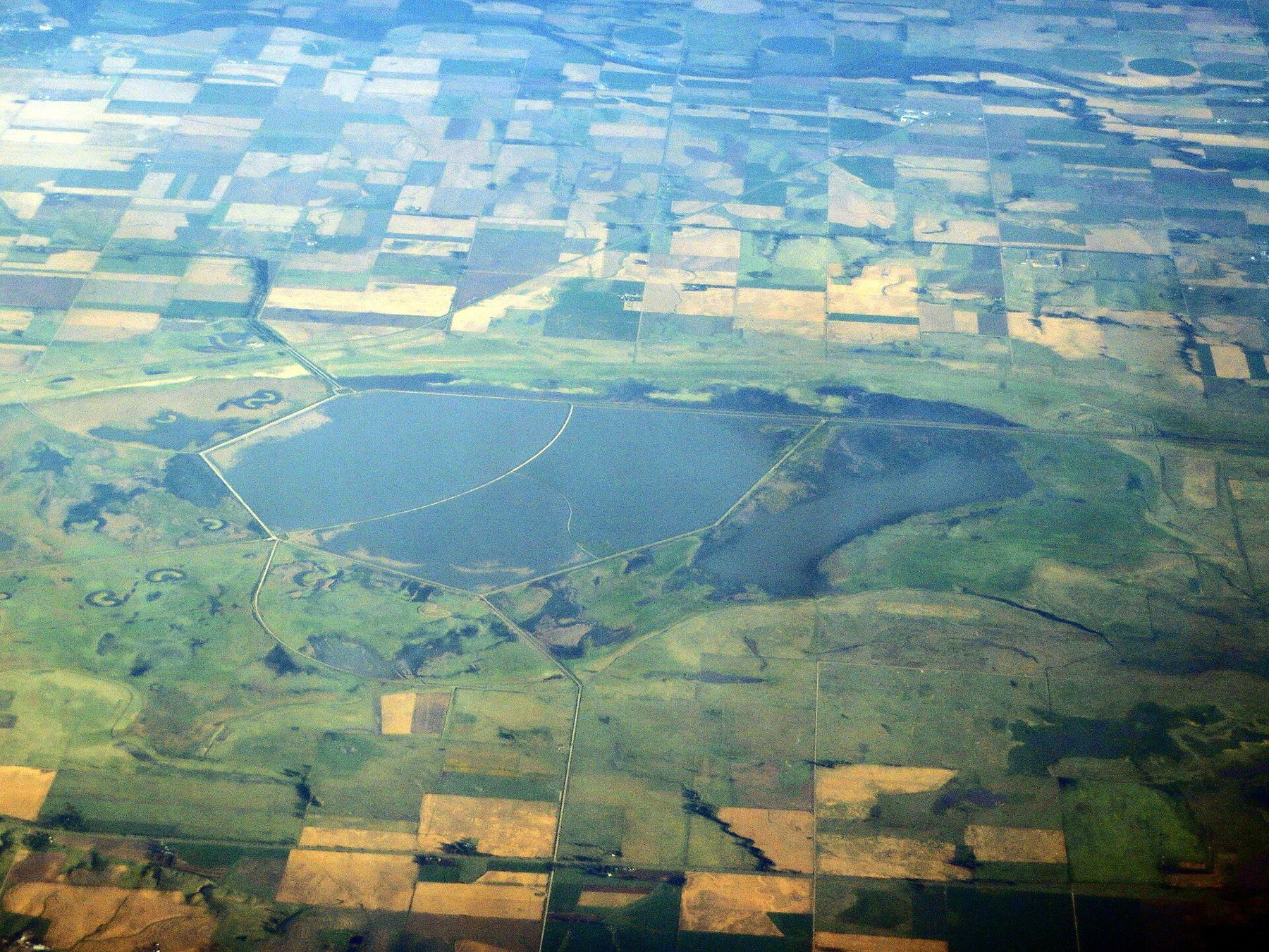
From the highway, central Kansas looks like dry, farmed country: wheat, milo, center pivots and grain elevators. Then you drop a few feet into a broad, shallow basin and the land turns to water, cattails and sky full of birds. Cheyenne Bottoms, northeast of Great Bend in Barton County, is the largest marsh in the interior of the United States, a natural sink of about 41,000 acres that has collected water for many thousands of years.
About an hour's drive to the south, Quivira National Wildlife Refuge spreads across salt marshes, sand prairie and creeks in Stafford, Reno and Rice counties. Its name recalls Quivira, the land that the Spanish expedition of Francisco Vazquez de Coronado went looking for in 1541; the people they found were the ancestors of the Wichita.
Both places are listed as Wetlands of International Importance under the Ramsar Convention, a treaty that names wetlands of global value. Both sit in the middle of the Central Flyway, the great north-south route that millions of birds follow between the Arctic and the Gulf of Mexico and beyond. On the open plains, a big body of shallow water is rare, and the birds come down to it in enormous numbers.
Cheyenne Bottoms
The bottoms are a patchwork. The largest public part is a state wildlife area divided into pools by dikes, with gravel roads along the tops that let you drive slowly through the marsh. A conservation group owns and manages another large tract on the north and east sides, mostly as grazed wet meadow. The rest is private farmland.
Start at the wetlands education center on K-156 at the southeast edge of the basin, which has exhibits, maps, bird lists and staff who can tell you where the birds are. The water level changes a great deal from season to season and year to year. In wet years the pools spread wide; in drought the bottoms can shrink to a few cells of water and bare mud. Ask what is wet before you start driving.
The basin is fed by a few creeks and by canals built to carry water in from the Arkansas River and Walnut Creek. They help keep the pools wet, but in dry years there is little water to send, and the marsh shrinks with the rest of the country. That swing between flood and drought is part of what makes the bottoms so productive: mud flats exposed in a dry spell feed shorebirds, and the next wet year brings back the ducks.
Spring shorebird migration, from about mid-April into May, is the season the bottoms are famous for. A large share of the shorebirds that cross the middle of the continent stop here to feed: sandpipers, plovers, godwits, dowitchers, avocets, stilts and phalaropes, sometimes in tens of thousands on the mudflats. Late summer brings them back south, along with herons, egrets and ibis. Fall and early winter bring ducks, geese and cranes.
Quivira and the cranes
Quivira is quieter and wider. A wildlife drive loops near the Big Salt Marsh in the north of the refuge, and other roads cross the Little Salt Marsh, the sand hills and the creeks. Salt from old seeps rises at the surface here, leaving white crusts on the flats, and the marsh plants and birds reflect that saltier water.
Sandhill cranes are the great spectacle of fall. From late October into November they pass through in large numbers, standing in the shallows at night and flying out to the fields at dawn with the rattling call you hear long before you see the birds. Spring brings them through again, in late February and March, along with flocks of snow geese.
A much rarer bird travels with them. The whooping crane, the tallest bird in North America and among the rarest, migrates between nesting grounds in northern Canada and wintering grounds on the Texas coast, and central Kansas lies on its route. Quivira is part of the bird's designated critical habitat, and whooping cranes stop at both Quivira and Cheyenne Bottoms most years, usually in small family groups, in spring from late March into April and in fall from late October into November.
Watching whooping cranes carefully
Seeing a whooping crane is a privilege, and the birds are easily disturbed. A crane that flies off a roost burns energy it needs for the next leg of its trip. Refuge staff sometimes close roads or areas when whooping cranes are present, and those closures should be respected without exception.
- Stay in your vehicle. Cranes are used to cars and tolerate them far better than people on foot.
- Keep your distance. If a bird stops feeding, raises its head or starts to walk away, you are too close; back off.
- Do not use calls, recordings or drones, and do not try to make the birds fly for a photograph.
- Check with the refuge or the wildlife area for current sightings, closures and viewing advice, and report sightings as asked.
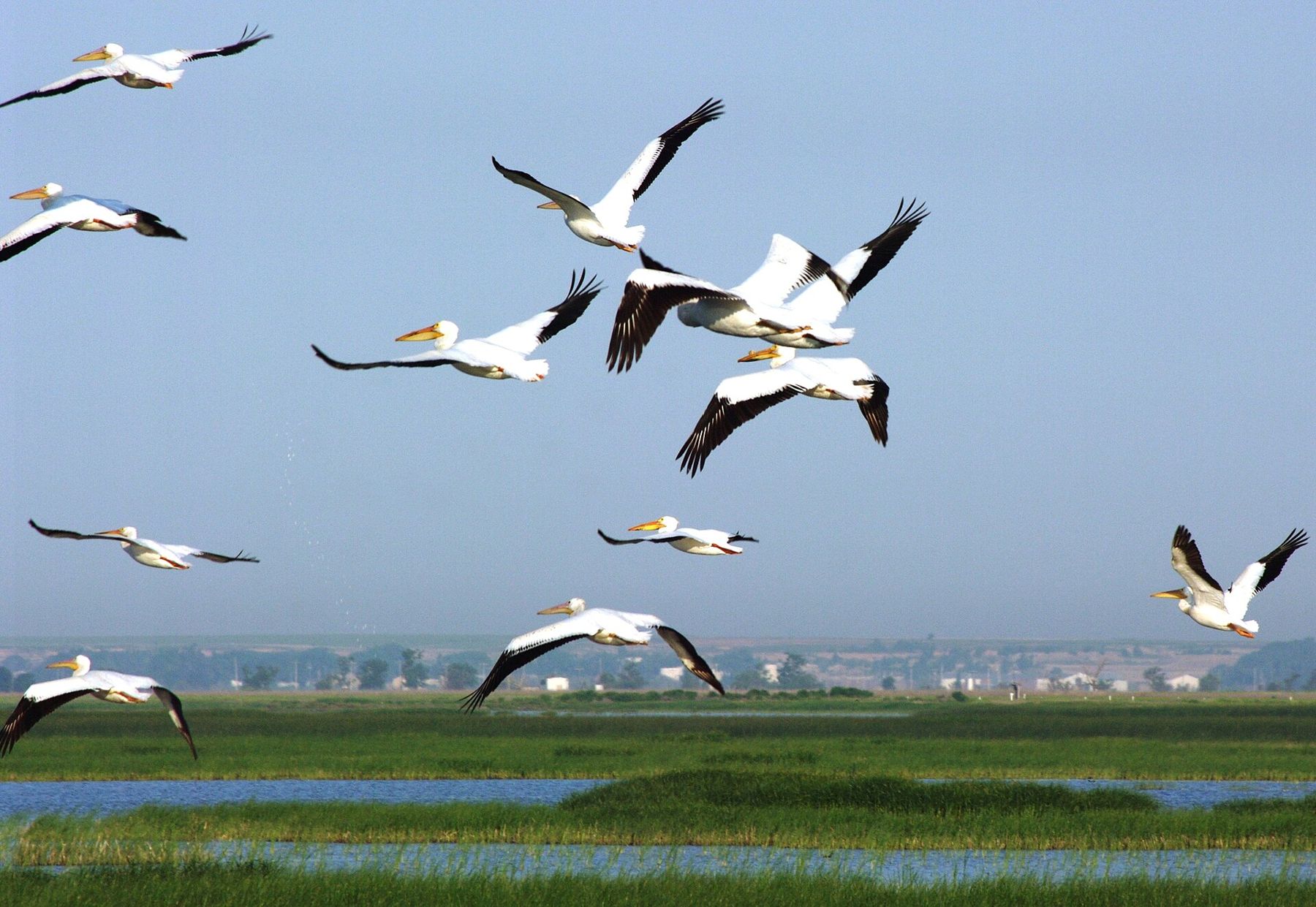
Patience is the main tool. Find a safe pull-off with a view over the marsh, turn off the engine, and wait. White pelicans, cormorants, avocets and ducks will keep you busy until the cranes appear, if they do.
Find a safe pull-off with a view over the marsh, turn off the engine, and wait.
Driving between them
The Wetlands and Wildlife National Scenic Byway links the two areas by way of Great Bend and the small farm towns to the south, with the main streets and grain elevators of wheat country along the way. Allow a full day to see both marshes properly, and more if the birds are moving. Dawn and the hour before dusk are the best times for both birds and light.
Weather on the open plains changes fast. In spring, keep an eye on the sky and know what to do in a plains storm: follow official warnings, get to solid shelter early, and never try to outrun or follow a storm. In fall, a north wind can drop the temperature by twenty degrees in an afternoon. Roads in both areas are gravel or dirt and can turn slick after rain; drive slowly and pull fully off the road before you stop, since you will share it with other birders and with farm traffic. Summer brings heat, mosquitoes and the start of wheat harvest in the fields around the marshes.
If you are coming from the east, the drive across from the Flint Hills takes two to three hours and moves you from tallgrass hills to open wheat land to marsh in a single day.
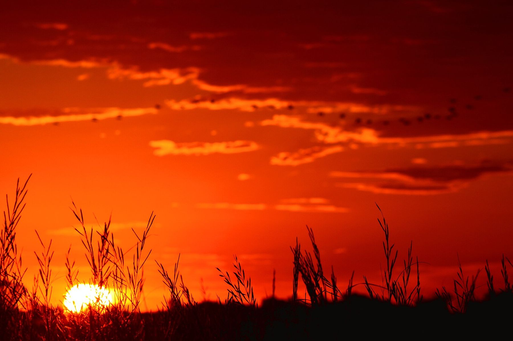
Camera work
- Ken Lund from Reno, Nevada, USACC BY-SA 2.0
- Raymond M. Coveney, …CC BY-SA 3.0
- USFWS Mountain-PrairieCC BY 2.0